
Discover our collection of recent or ongoing projects as well as helpful resources by Planning and Development mapping staff.
While using images of recorded covenants, restrictions, plats, deeds, land contracts etc.. from the Register of Deeds staff generated searchable text using a program called Laserfiche. Staff then searched the text for keywords like caucasian, servant, Italian and race. Staff then reviewed each document for racial or discriminatory language. Upon confirmation we mapped their location, based on the legal description. You can see the map and review the process and next steps on the "Prejudice in Places" project page.
A long term countywide USPLSS Re-monumentation effort. This project will benefit residents in many ways including more accurate mapping in Dane County.
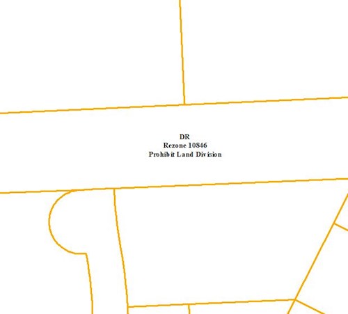
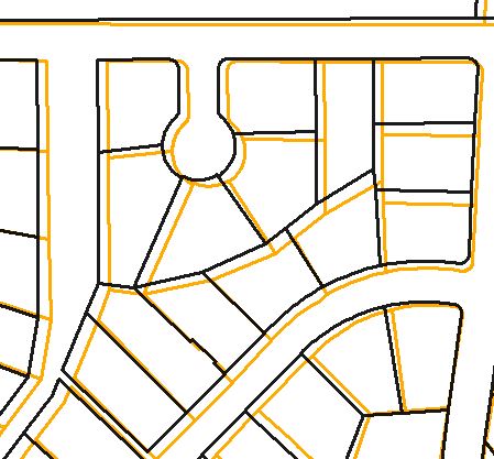
Staff are reviewing historical zoning petitions and specifically looking at those with a deed restriction or deed notice on them. Then mapping those and including the reasoning so that staff can easily identify specific areas.
RESOURCES
Adobe Color - Color wheel, a color palette generator
ColorBrewer - Color advice for maps.
Data Viz Catalogue - For help in determining the type of chart/graph that is most appropriate for your type of data.
Dr Christopher Sutton - YouTube videos on introducing GIS.
ESRI Academy Resources to Learn GIS Mapping
Ikigai diagram - The reason why you get up in the morning.
John Nelson Maps - John makes maps at ESRI, a software company for map nerds.
Official Wisconsin Highway Map - Current and historic maps and how to order them.
Spatial Reserves - A guide to public domain spatial data.
Online Mapping Resources
Dane County Access Dane , DCIMap , LWRD Viewer
Green County GIS Data Viewer
Jefferson County GIS Data Viewer
Rock County GIS Data Viewer
WIDNR App List
List of Wisconsin County by County GIS Maps
